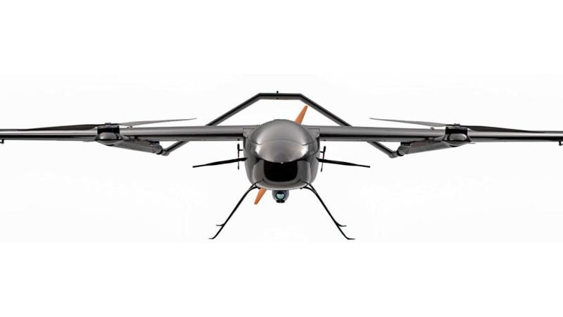
Adrone is a flying robot that can be remotely controlled or fly autonomously using software-controlled flight plans in its embedded systems, that work in conjunction with onboard sensors and a global positioning system (GPS).
UAVs
UAVs were most often associated with the military. They were initially used for anti-aircraft target practice, intelligence gathering, and, more controversially, as weapon platforms. However, today, drones have found a wide range of applications for civilian use, especially in the form of small quadcopters and octocopters.
Today, drones are used for a wide range of functions, including monitoring climate change, delivering goods, aiding in search and rescue operations, and filming and photography.
How do drones work? Drones have two basic functions: flight mode and navigation.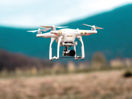
Controllers
To fly, drones must have a power source, such as a battery or fuel. They also have rotors, propellers, and a frame. The frame of a drone is typically made of a lightweight, composite material to reduce weight and increase maneuverability. Drones require a controller, which lets the operator use remote controls to launch, navigate and land the aircraft.
Controllers communicate with the drone using radio waves, such as Wi-Fi. Drones have a large number of components, including: electronic speed controllers, which control a motor's speed and direction and a flight controller. Some drones have a GPS module. Drones also need a battery, an antenna and a receiver. Some drones have cameras.
They also have sensors, including ultrasonic sensors and collision avoidance sensors, accelerometers, which measures speed and an altimeter, which measures altitude.
Drone features vary based on the use it is put to: Some of them are, various types of cameras with high-performance, zoom, and gimbal steady-cam and tilt capabilities.
Artificial intelligence (AI) enables the drone to follow objects. augmented reality features that superimpose virtual objects on the drone;s camera feed. media storage format. Maximum flight time which determines how long the drone can remain in the air. maximum speeds, including ascent and descent, hover accuracy.
obstacle sensory range. altitude hold, which keeps the drone at a fixed altitude. live video feed and flight logs are examples of features.
Drones in agriculture
The use of drones in almost every sector of the economy is growing fast, but drone usage in the agricultural industry is booming. According to some reports, the agricultural drone market is expected to grow from a $1.2 billion(USD) industry in 2019 to $4.8 billion in 2024. From scouting to security, drone use will become more ubiquitous on large and small-scale farms in a few short years.
The information gathered by drones on farms is often used to better inform agronomic decisions and is part of a system generally referred to as ‘precision agriculture’. Drone use has become an essential part of large-scale precision farming operations in many areas. The data collected from drones recording fields help farmers plan their planting and treatments to achieve the best possible yields. Some reports indicate that using precision farming systems can increase yields by as much as five percent which is a sizeable increase in an industry with typically slim profit margins and one of the uses for drone imagery that has already been rolled out with great success is for monitoring plant healt1h.
Special imaging equipmwnt
Drones equipped with special imaging equipment called Normalised Difference Vegetation Index (NDVI) use detailed colour information to indicate plant health. This allows farmers to monitor crops as they grow to deal with any problems fast enough to save the plants. This image illustrates simply how NDVI works.
Drones using ‘regular’ cameras are also used to monitor crop health. Many farmers already use satellite imagery to monitor crop growth, density, and colouration, but accessing satellite data is costly and not as effective in many cases as closer drone imaging. Because drones fly close to fields, clouds cover and poor light conditions matter less than when using satellite imaging. Satellite imaging may offer meter accuracy, but drone imaging is capable of producing accurate image location to the millimeter. This means that after planting, areas that withstand gaps can be spotted and replanted as needed, and disease or pest problems can be detected and treated right away.
Drones are used to apply spray treatments is already widespread in south-east Asia, with South Korea using drones for approximately 30 percent of their agriculture spraying.
Drone sprayers can navigate very hard-to-reach areas, such as steep tea fields at high elevations. Drone sprayers save workers from having to navigate fields with backpack sprayers, which can be hazardous to their health.
Drones sprayers deliver very fine spray applications that can be targeted to specific areas to maximise efficiency and save on chemical costs. Currently, drone sprayer regulations vary widely between countries. They are not currently legal in Canada as more testing needs to be done to understand the impact of spray drift.
Some regulation proposals recommend that only trained professionals be tasked with flying spray drones .
However, in the future drones will become very popular for children, young and old people. Therefore, we thank Abraham Karem who invented the first drone and he is the ‘Father of drones’.
Angelo Keshana Perera
Grade 9
St. Sebastian's College
Moratuwa