The cyclonic storm Mandous over the Southwest Bay of Bengal crossed Northern Tamil Nadu, Puducherry and the Southern Andhra Pradesh coastline early Saturday (10), a spokesman for the Meteorogical Department said, adding that the storm could gradually wane into a deep depression by morning and into a depression by noon yesterday.
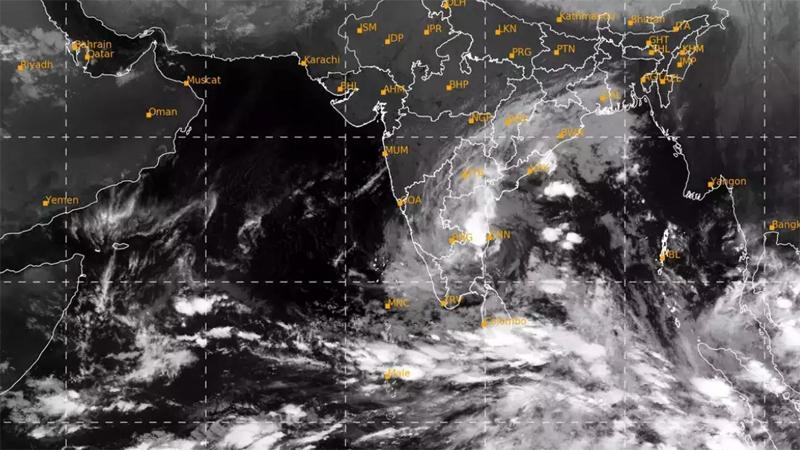
The deep and shallow sea areas of the northern coast and in sea areas off the coast extending from Mannar to Hambantota via Colombo and Galle will be rough with strong gusty winds under the influence of the system.
There is a possibility of swell waves increasing up to 2.5m–3.5m in the deep-sea areas southwest of the Bay of Bengal and swell waves can increase up to 2.0m–2.5m in the sea areas off the coast extending from Galle to Pottuvil via Hambantota, the Met Department’s release stated.
The Natural Hazards Early Warning Centre issued an amber alert for deep and shallow sea areas from Mannar to Trincomalee via Kankesanturai and Southwest Bay of Bengal.
Naval and fishing communities in deep and shallow sea areas of the Northern coast and in the sea areas off the coast extending from Mannar to Hambantota via Colombo and Galle had been advised to be vigilant.
According to the Met Department’s weather forecast, a few places in the Northern, North Central and Eastern Provinces could experience showers or thundershowers in the afternoon or night today (11) with showers expected in the North-Western Province and in the Mannar district in the morning.
Isolated showers are likely in the Western, Sabaragamuwa and Central provinces and in the Galle and Matara districts.